
Who We Are
Casado Design brings together experienced CAD technicians, surveyors, drone operators, digital modelling specialists and project support professionals. Our team combines traditional survey knowledge with modern digital technology, allowing us to support a wide range of project types and technical requirements.
We work with clients who need reliable existing-condition information, clear technical drawings and efficient survey solutions. This may include network operators, telecoms contractors, architects, engineers, construction teams, facilities managers, renewable energy developers, property owners and organisations managing large or complex estates.
Our work often begins with a simple question: what does the client need to understand about the site? From there, we identify the most suitable method of capture and delivery. Sometimes that means a measured survey and 2D CAD drawings. Sometimes it means drone imagery, SLAM scanning, 3D modelling or a digital twin. Often, it is a combination of several methods, brought together to create a complete and usable project record.
What We Do
Casado Design provides a range of technical services designed to support projects from early-stage feasibility through to planning, construction, handover and asset management.
Our CAD drafting capability includes accurate 2D drawings, site layouts, elevations, plans, sections, mark-up conversions, planning drawings, construction drawings and as-built documentation. These drawings help clients communicate design intent, record existing site conditions and maintain clear technical information throughout the project lifecycle.
Our survey services support clients who need accurate site data before making design or delivery decisions. This includes measured building surveys, telecoms MSV surveys, drone surveys, SLAM scanning and digital twin outputs. By capturing the right information at the right stage, we help reduce uncertainty and provide a stronger foundation for design, coordination and project planning.
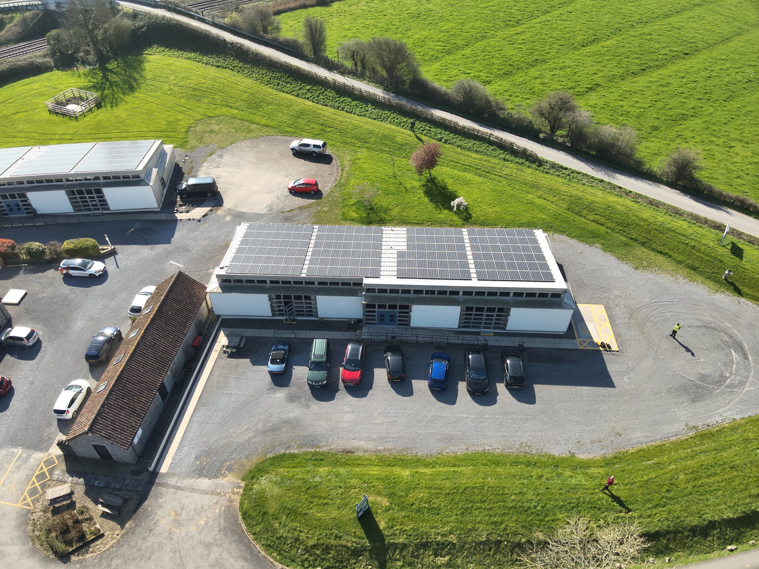
Our drone survey capability allows us to capture high-quality aerial data for sites, structures, compounds, rooftops, telecoms assets, commercial facilities and areas where access may be difficult or time-consuming. Drone data can support inspections, measured surveys, infrastructure records, visual reporting, digital modelling and asset review.
Our SLAM scanning and 3D data capture workflows help us record internal, enclosed or complex environments quickly and efficiently. This is particularly useful for existing buildings, plant areas, commercial premises, infrastructure spaces and sites where traditional measuring methods may be limited.
Our digital twin and 3D modelling services bring multiple sources of information together into a clearer digital representation of a site or asset. By combining CAD, survey information, scan data, imagery and project documentation, we can help clients visualise existing conditions, plan future works and manage information more effectively.
Our Approach
Every project starts with understanding the client’s objective. We do not believe in using technology for its own sake. Instead, we choose the right method based on the site, the required output, the project stage and the decisions the client needs to make.
That means asking practical questions at the beginning of a project. What information already exists? What needs to be captured? What level of detail is required? Who will use the final deliverables? Are the outputs for planning, design, construction, maintenance, inspection, handover or long-term records?
Once the scope is understood, we plan the work carefully. For site-based activity, we consider access, safety, permissions, data capture methods, equipment requirements and the format of the final deliverables. Our team then captures, processes and reviews the information before issuing clear, structured outputs to the client.
This process allows us to provide more than just data. We provide information that is usable, organised and aligned with the client’s project requirements.
Technology-Led, Detail-Focused
Technology plays an important role in the way Casado Design works. We use modern survey and design tools to improve the way sites are captured, understood and documented. This includes drone surveying, SLAM scanning, AutoCAD drafting, 3D modelling, point cloud workflows and digital twin production.
However, the value of technology depends on how it is applied. A drone image, point cloud or scan file is only useful if it is processed, interpreted and delivered in a way that supports the project. Our team bridges the gap between raw data and practical project information, turning captured site data into drawings, reports, models and digital records that clients can actually use.
This combination of technical equipment and experienced judgement allows us to support projects that require speed, accuracy, flexibility and clear communication.
Supporting Infrastructure and Built-Environment Projects
Casado Design works across a range of sectors where accurate site information and clear technical documentation are essential.
In telecoms infrastructure, we support site surveys, MSV surveys, CAD drawings, infrastructure planning, tower and compound records, and digital documentation. The telecoms sector requires reliable information, fast turnaround and a strong understanding of how physical assets interact with design, installation and upgrade programmes.
In renewable energy, we support solar, EV charging and wider infrastructure projects with survey data, CAD layouts, site information and technical documentation. These projects often require clear existing-condition records, accurate drawings and efficient coordination between multiple stakeholders.
In architecture and construction, we support design teams, property professionals and contractors with measured surveys, planning drawings, construction information, as-built records and 3D modelling. Accurate information at the beginning of a project can reduce assumptions, improve coordination and help teams avoid costly issues later.
In commercial, industrial and education environments, we help clients understand existing buildings, estates, facilities and assets. This can include measured surveys, layout drawings, digital records, aerial imagery, site reports and long-term asset information.
Why Clients Work With Us
Clients work with Casado Design because we combine technical capability with a practical understanding of project delivery. We know that our work needs to be accurate, but it also needs to be clear, timely and useful.
A well-produced survey or drawing package can help a project team move forward with confidence. A clear drone survey report can reduce unnecessary site visits. A measured survey can give designers a reliable foundation. A digital twin can help asset managers understand and plan future works. A properly structured CAD drawing can become an important record for planning, construction, maintenance or handover.
We aim to make the process straightforward for our clients. That means communicating clearly, understanding the brief, selecting the right tools, managing information carefully and delivering outputs that match the agreed scope.
Built on Accuracy, Communication and Trust
Accuracy is central to what we do, but it is not the only thing that matters. Clients also need confidence that their project information is being handled professionally, that deliverables will be easy to understand, and that the team producing them understands the importance of the work.
Casado Design places strong emphasis on communication throughout the project. We work to understand what the client needs, keep the process clear and deliver information in a format that supports the next stage of the project.
From initial enquiry through to final issue, our focus is on providing a reliable service that supports better decisions, smoother coordination and stronger project outcomes.
Looking Ahead
The way sites are surveyed, designed and managed is changing. Drone technology, 3D scanning, digital twins and advanced modelling are giving clients faster and more detailed ways to understand their assets. Casado Design is continuing to develop its capability in this space, combining established CAD and survey expertise with modern digital workflows.
As part of ZenaTech’s wider Drone-as-a-Service expansion into the UK, Casado Design is positioned to support growing demand for drone-enabled surveying, scanning, digital twin and telecoms infrastructure services. ZenaTech’s acquisition announcement describes Casado as a UK survey and design company with expertise in 3D modelling and scanning for telecom tower and infrastructure work.
For our clients, this means access to a team that understands both traditional project documentation and the future of digital site intelligence.
Our Purpose
Casado Design exists to help clients see, understand and manage their sites more clearly.
We believe good information leads to better decisions. Whether we are producing a 2D CAD drawing, surveying a telecoms site, scanning a building, capturing drone imagery or developing a digital twin, our purpose is to provide accurate, practical and dependable outputs that help projects move forward.
By combining survey knowledge, CAD expertise and modern technology, Casado Design gives clients the clarity they need to plan, design, build, maintain and manage with confidence.
Casado Design is a specialist survey, CAD and digital design company supporting clients across telecoms infrastructure, construction, renewable energy, commercial property, education estates, industrial facilities and wider built-environment projects.
We help clients understand, design, document and manage physical sites through accurate survey data, technical drawings, 3D modelling, drone surveying, SLAM scanning and digital twin workflows. Whether a project requires a measured building survey, a telecoms site survey, a 2D CAD drawing package, a 3D model, aerial data capture or a coordinated digital record of an existing asset, our role is to turn complex site information into clear, practical outputs that project teams can rely on.
At the heart of Casado Design is a simple aim: to provide accurate, well-structured information that helps clients make better decisions. We understand that every drawing, survey, scan or report we produce may influence a planning decision, construction programme, infrastructure upgrade, maintenance strategy or investment decision. That is why we place such importance on accuracy, clarity, communication and quality at every stage of our work.